Traveling has always been in our genes, us Americans. We are wanders. We have traveled many miles to settle in this great nation. As we came to the upstate over 200 years ago after the Revolution, (thanks to Durant Ashmore for his Revolution history), we have recorded many miles of road travel on foot, horseback, wagon, buggy, and car. The history of transportation is fascinating, but to those of us who have lived our lives along certain roads, a road becomes a place to recognize. I have driven in all 50 US states and Canada, Mexico, and Paris, France. Roads and maps of roads are like blood in my veins. Give me a road map and I will be enthralled for hours.
So recently, I read the book by Mann Batson, Travelers Rest historian, Early Roads and Accommodations of Northern Greenville County. Mann’s research and documentation was extensive and the record he left us of travel and commerce prior to 1900 is a treasure. His stories and newspaper articles lead me to go further to understand more about the travel history of Greenville County.
Prior to the Revolution, the Road to Augusta existed as an Indian Path. As most such paths did, it followed a ridge to avoid crossing waterways and bogs. After the Revolution when Indian Country was turned into part of South Carolina with the Treaty of DeWitt’s Corner (Due West), settlers moved into Greenville County, then part of Washington District. As this area opened up, drovers began moving animals down from even Kentucky to Augusta putting them on boats to Savannah.
This was part of the early commerce that helped open up the upcountry. Can you believe drovers riding horses and walking moved mules, cattle, hogs, and even turkeys from Kentucky to Augusta down the Augusta Road? I have yet to completely take that in. But by 1790 camps and inns were constructed along the path with pens for all these animals and local farmers were providing feed at the stops. Most of this commerce took place during three winter months and thousands of animals a day were moving along in the early 1800s. We still have some of those early inns in existence along the way.
In the 1820’s a town grew up on the South Carolina side of the Savannah River to take advantage of this trade. Hamburg flourished until 1848 when the railroad from Greenville to Columbia was built. (By 1900 Hamburg was swallowed by North Augusta, but can still be found on Google Maps.) Hungry investors in Charleston, seeing all that product moving down to Savannah, decided to divert some of it toward SC low country by building the longest railroad in existence at the time, the Phoenix and later, the Friend. It ran from Charleston to Hamburg and was finished in about 1833.
About that time, low country folks decided to try vacating for the summers to the hill country, and Greenville became a sort of resort for a number of years and hotels and such built up on Main Street and the outskirts, such as Chick Springs. They also went up into North Carolina around Flat Rock and Cedar Mountain. So the inns became more accommodating to the likes of the upper classes. Buggies and stage coaches began running the roads and bringing along with them the post mailings. So these accommodations became local post offices and became more plentiful as well.

The first large cotton mill in South Carolina was established along the Phoenix railroad at Graniteville in 1845 near Hamburg. Cotton from the back country came to Hamburg and was then used in this cotton mill or sent on down the river or the rails, and small mills were working in the upcountry as well. Farmers moved their goods down the Augusta Road as it was improved. A plank road existed from Hamburg to Edgefield and then on up to Cambridge aiding in wagon passage. The roads at that time were maintained by locals who petitioned the state for the right to charge tolls. These entrepreneurs built bridges and plank roads and used the tolls for up keep. They had toll booths and not only charged for wagons and stagecoaches, but per animal. The Batson book delineates all these charges and responsibilities, if you’re interested.
As you see, in the winter months, these drovers moved animals down the Augusta Road, as the trail lead south, and in the summers, low country elites moved up the Buncombe Road, as it was called, when moving north. There are remnants of the Buncombe Road north of Edgefield and north of Greenville. In Greenwood, the Old Edgefield Road is on the west side of the city moving south. Moving north from downtown it is the Old Greenwood Road which differs from the north moving trails in the other towns. Interestingly, Greenwood didn’t exist until the Greenville Columbia Railroad was constructed in the 1850s and the original Augusta Road went through Ninety Six and Cambridge, two small but important towns at that time.
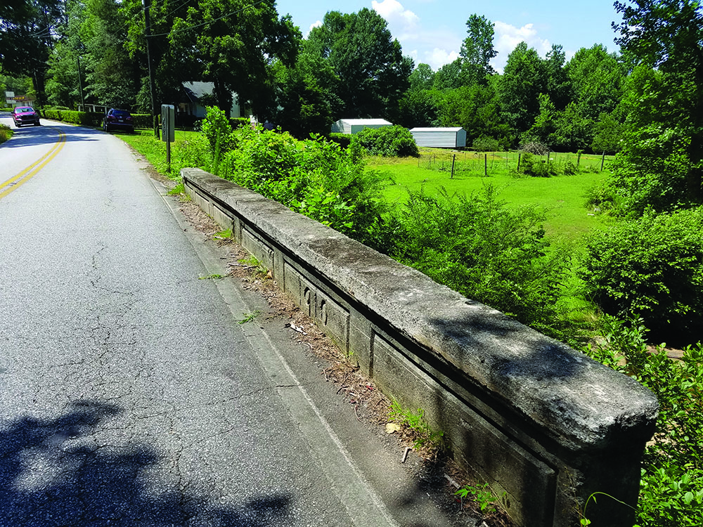
So, one of the major take aways for me is that the Augusta Road, as we Greenvillians call it, was extremely important to the growth of the upstate into the industrial, commercial center we have evolved into. Just driving from Greenville to North Augusta, especially down to Trenton, you understand the history that follows the road through the historic homes and villages along the way. Just between Moonville and Princeton in Greenville County there are 100 homes over 100 years old and there are several 200 years old. Take a day or two to travel this road looking for evidence of our history prior to 1900. You will be amazed!
Historian Jim Scott and I have taken some treks looking for just that evidence lately and with various folks joining us randomly. We sure have enjoyed some history and some wonderful local historians along the way, not to mention Jim’s interesting and historic food stops.
Next time I’ll share more about this road as the story continues into the 1900s and the Good Roads movement.♦